Poinciana Parkway Southport Connector PD&E Study
|
The Southport Connector Expressway is identified in the Osceola County Expressway Authority Master Plan and is closely tied to Osceola County’s Comprehensive Plan. The limits for this PD&E study are from Pleasant Hill Road to Florida’s Turnpike. As part of the County’s 2007 Compliance Agreement with the state of Florida, the County agreed to conduct a planning effort for the connector, which was tied to the South Lake Toho Master Plan effort.
|
|
Many issues influenced the preferred corridor alignment identified in the feasibility study, including impacts to wetlands and species, the Disney Wilderness Preserve, interchange locations, interchange spacing requirements related to the Turnpike’s existing Canoe Creek Service Plaza and the Turkey Lake Mainline Toll Plaza, and effects on neighboring residential properties. The completed roadway will be a new controlled-access freeway and a highway project of four or more lanes on a new location. This PD&E study includes the following tasks: environmental report; coordination with CEMO, FHWA, USFWS, and other stakeholders; design alternatives to build the interchange in phases; design alternatives to avoid Section 4(f) resources; an indirect and cumulative effects assessment; air/noise assessment; detailed field reviews for endangered protected species and wetlands; cultural resource assessment; and public involvement activities.
|
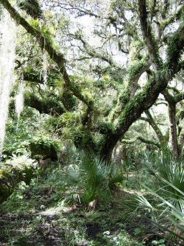
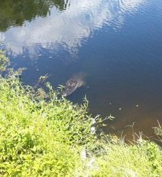
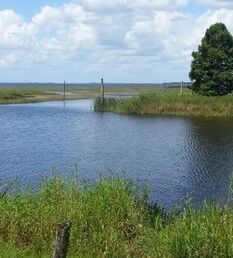
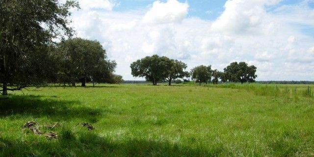
Ecological Scope of Services: Wildlife surveys for Audubon’s crested caracara and bald eagle, FNAI habitat/landcover mapping; and regulatory agency coordination. Inwood developed a wildlife habitat evaluation using four key species: Audubon’s crested caracara, Everglade snail kite, bald eagle, and Florida grasshopper sparrow based on FNAI’s habitat/natural community types and anticipated habitat utilization that allowed for the comparison and assessment of 13 independent corridors within a mosaic of upland and wetland habitat types.
Ecological
test
$0.00
$0.00


